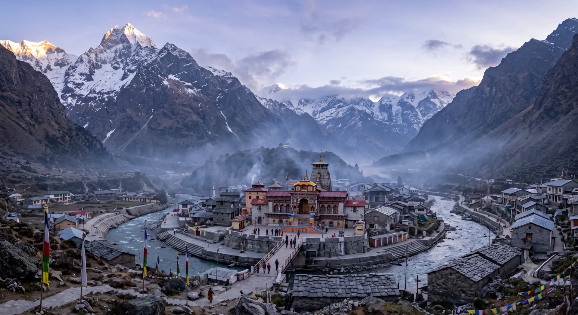
Pilgrimage
Chota Char Dham
छोटा चार धाम (उत्तराखंड)
Yamunotri · Gangotri · Kedarnath · Badrinath
The celebrated Himalayan pilgrimage circuit of Garhwal, Uttarakhand, linking the sacred origins of the Yamuna and Ganga with the high-altitude abodes of Shiva at Kedarnath and Vishnu at Badrinath. Traditionally traversed in a clockwise parikrama from west to east.
The Sacred Geography of Devbhoomi
देवभूमि गढ़वाल का पावन तीर्थ मंडल
The Chota Char Dham—conventionally referred to simply as the Char Dham within northern India—is situated entirely within the Garhwal division of the state of Uttarakhand, a region celebrated in scriptural texts as Kedarkhanda or Devbhoomi ('The Land of the Gods').
Geographically and theologically, the circuit represents an extraordinary synthesis of elemental nature and divine presence: - Two Shakti river shrines: Yamunotri (the source of Yamuna) and Gangotri (the source of Ganga / Bhagirathi). - Two Supreme Deva shrines: Kedarnath (the highest Shaiva Jyotirlinga) and Badrinath (the premier Vaishnava sanctuary).
While the four shrines share severe alpine environments above 3,000 metres elevation, each occupies a distinct Himalayan river valley: the Yamuna, the Bhagirathi, the Mandakini, and the Alaknanda. The waters of all four eventually converge downstream into the holy Ganga at Devprayag.
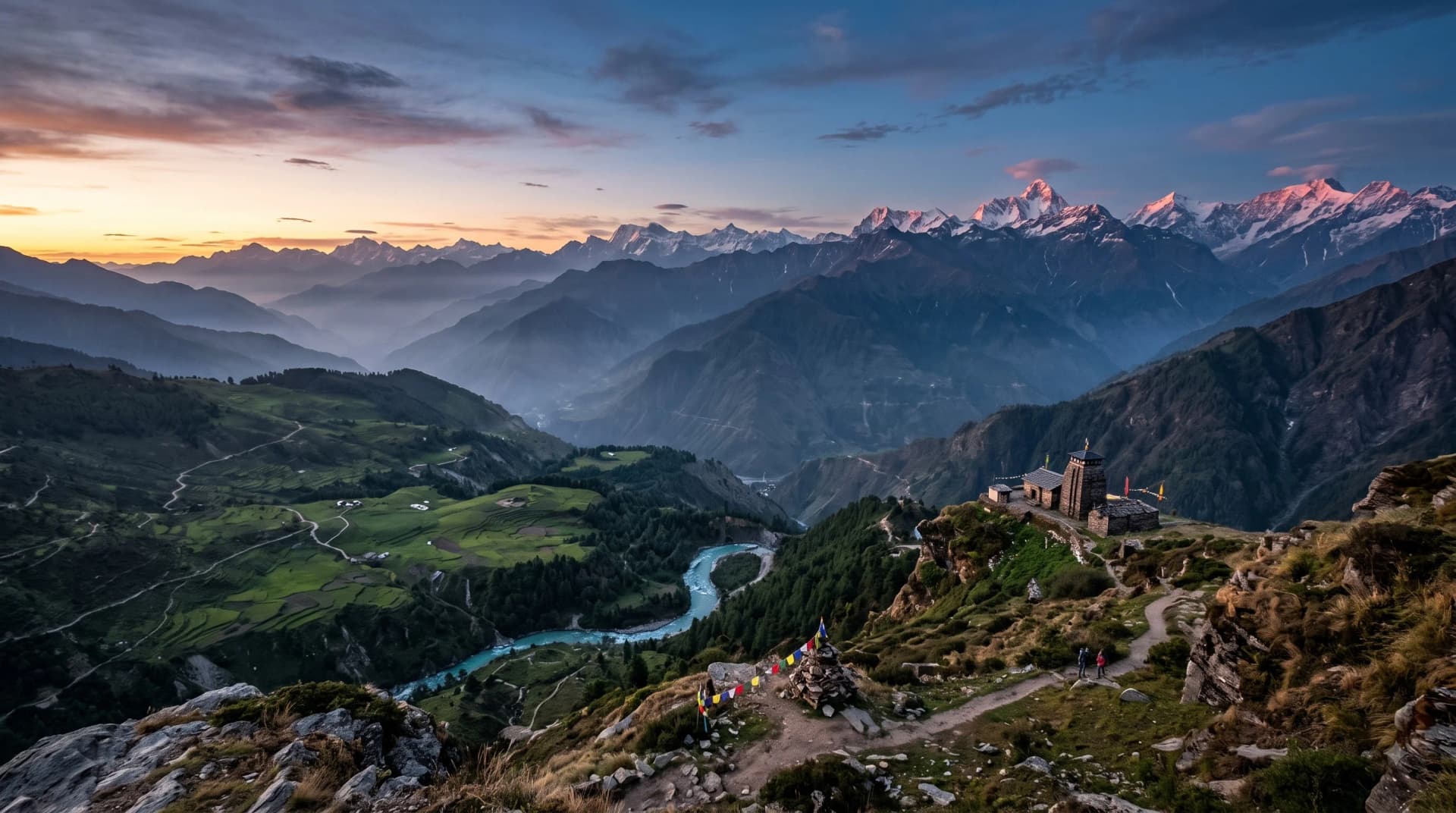
The Clockwise Parikrama Order
पारम्परिक पश्चिम-से-पूर्व प्रदक्षिणा क्रम
A fundamental rule of traditional Hindu pilgrimage is the discipline of Parikrama (circumambulation), in which sacred spaces and mountains are circled in a clockwise direction, keeping the sanctified object on the right shoulder (Pradakshina).
In accordance with this principle, the authentic traditional order of the Chota Char Dham moves strictly from West to East: 1. Yamunotri (Westernmost point in Uttarkashi district) 2. Gangotri (North-central in Uttarkashi district) 3. Kedarnath (Central in Rudraprayag district) 4. Badrinath (Easternmost point in Chamoli district)
This sequence is spiritually structured: the pilgrim first purifies the mind and subtle body at the sister rivers Yamuna and Ganga, before ascending to the austere ascetic presence of Shiva at Kedarnath, and finally concluding the yatra in the supreme peace and grace of Vishnu at Badrinath.
While modern helicopter operators and tour operators occasionally alter this sequence for logistical convenience, the clockwise West-to-East route remains the scripturally recommended path followed by walking pilgrims for over a millennium.
Seasonal Window: Kapat Opening to Kapat Closing
कपाट खुलने और बंद होने का वार्षिक चक्र
Due to heavy snowfall and sub-zero Himalayan winters, all four shrines remain completely inaccessible for nearly six months each year.
The pilgrimage season opens annually in late spring, traditionally synchronized with the auspicious festival of Akshaya Tritiya (late April or early May), when the temple portals (Kapat) of Gangotri and Yamunotri are opened first, followed shortly thereafter by Kedarnath and Badrinath.
The shrines close sequentially in autumn following Diwali: - Gangotri closes on Diwali (Kartik Amavasya). - Yamunotri and Kedarnath close on Bhai Dooj / Yama Dwitiya (two days after Diwali). - Badrinath closes around mid-November following a special closing ritual (Kapat Bandh).
During the winter months, the deities are ceremonially relocated to their winter seats (Utsav Gaddi): - Yamuna resides at Kharsali. - Ganga resides at Mukhba (near Harsil). - Kedarnath resides at the Omkareshwar Temple in Ukhimath. - Badrinath resides at the Vasu Deva Temple in Joshimath.
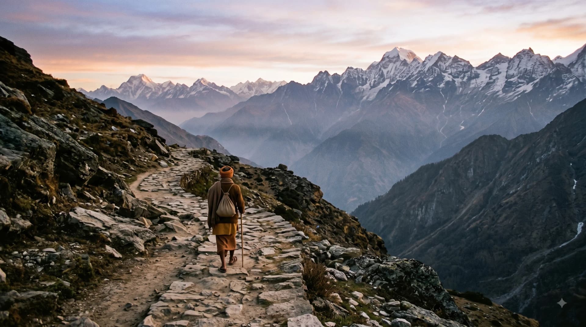
Practical Preparation and High-Altitude Safety
यात्रा प्रबंधन और आवश्यक सावधानियां
Undertaking the Chota Char Dham requires substantial physical and mental preparation. Altitudes range from 3,100 metres at Gangotri to nearly 3,600 metres at Kedarnath, where atmospheric pressure and oxygen levels are significantly lower than on the plains.
Key practical requirements: - Biometric Registration: Mandatory online or offline registration through the official Uttarakhand government portal (registrationandtouristcare.uk.gov.in) before undertaking the yatra. - Acclimatization: Essential to take rest stops at intermediate base towns such as Barkot, Uttarkashi, Guptkashi, and Joshimath before ascending to the shrines. - Trekking Logistics: - Yamunotri: 6 km steep trek from Janki Chatti (approx. 3–4 hours walking; ponies and palanquins available). - Kedarnath: 16 km rigorous mountain trek from Gaurikund (approx. 6–8 hours walking; helicopter services operate from Phata, Sirsi, and Guptkashi). - Gangotri & Badrinath: Motor vehicles reach directly up to the temple perimeter parking areas.
The Destinations
Yamunotri
यमुनोत्री
At 3,291 metres against Kalind Parvat. The westernmost shrine and the traditional first stop of the pilgrimage. Sacred source of the river Yamuna, daughter of Surya and sister of Yama. Features the boiling Surya Kund (88°C) where rice is cooked in cloth bags as sacred prasad, and the Divya Shila rock altar. Reached by a steep 6 km mountain trek from Janki Chatti.
Gangotri
गंगोत्री
At 3,100 metres along the rushing Bhagirathi river. The sacred seat where Goddess Ganga first descended to earth, caught within Lord Shiva's matted locks to temper her cosmic power. Features the sacred Bhagirath Shila where King Bhagiratha meditated, and the 18th-century white granite temple built by Gorkha commander Amar Singh Thapa. Gateway to the Gaumukh glacier trek.
Kedarnath
केदारनाथ
At 3,584 metres in the Mandakini valley below the snow-clad Kedarnath peak. The highest of the twelve Jyotirlingas and the foremost of the Panch Kedar. Venerated as the triangular stone hump of Shiva who took the form of a celestial bull to evade the Pandavas. Accessible via a demanding 16 km mountain trek from Gaurikund or by helicopter.
Badrinath
बदरीनाथ
At 3,133 metres along the Alaknanda river between the Nar and Narayan ranges. The northern pillar of both the pan-Indian Bada Char Dham and the Himalayan circuit. Dedicated to Lord Vishnu in the meditative Padmasana posture (Badrinarayan). Features the natural 45°C thermal bath of Tapt Kund, the ancestral rites platform of Brahma Kapal, and the Nambudiri Rawal priesthood tradition.
Yatra Guidance
The traditional circuit begins from Haridwar or Rishikesh, following the sequence: Haridwar/Rishikesh → Barkot → Yamunotri → Uttarkashi → Gangotri → Guptkashi → Kedarnath → Joshimath → Badrinath → Rishikesh. Undertaken by road, the entire 1,400 km mountain road circuit requires a minimum of 10 to 12 days to complete safely with adequate rest and acclimatization. Heli-tours departing from Dehradun can complete the four shrines in 2 to 5 days, though road travel remains the customary spiritual path.
May to June (pre-monsoon summer) and September to October (post-monsoon autumn). The monsoon months (July and August) experience intense rainfall, cloudbursts, and frequent highway blockages, requiring extreme caution. September and October offer the clearest mountain views and crisp, dry weather.
10 to 12 days by road; 2 to 5 days by helicopter package.
Related Temples
Sources
- Uttarakhand Tourism Development Board (UTDB)(government)
- Shri Badrinath-Kedarnath Temple Committee (BKTC)(official)
- Shri 5 Mandir Samiti Gangotri(official)
- Shri Yamunotri Temple Committee(official)
- Skanda Purana, Kedarkhanda(scripture)
- E.T. Atkinson, 'The Himalayan Gazetteer' (1882)(historical)